
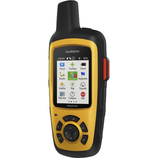
inReach | SE+
Satellite Communicator with GPS Navigation
2-Way Messaging | SOS | Tracking | Weather Forecasts
Basic GPS Navigation
inReach SE+ is the satellite communicator that uses 100% global Iridium satellite coverage for 2-way messaging anywhere in the world. Plus, built-in GPS enables basic on-screen grid navigation with a high-detail breadcrumb track-back trail. inReach SE+ will keep you connected in Canada’s backcountry and the rest of the world.
Brochure
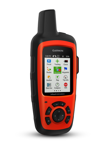
inReach | Explorer+
Satellite Communicator with Maps and Navigation Sensors
2-Way Messaging | SOS | Tracking | Weather Forecasts
GPS with Robust Navigation | Preloaded TOPO Maps | Navigation Sensors
inReach Explorer+ is the satellite communicator that uses 100% global Iridium satellite coverage for 2-way messaging anywhere in the world. Plus, full-fledged GPS navigation with preloaded TOPO maps1 let you navigate with confidence, while built-in navigational sensors help you find and maintain accurate bearings. With inReach Explorer+ you can roam farther and experience more – on or off the beaten path.
